
Softonic ran the bulletin: Tropical Storm Arthur has officially formed, kicking off the 2026 Atlantic hurricane season. The mobile coverage is well-trodden — every weather app on Android and iOS has a hurricane card. Desktop is messier. Hurricane forecasting on a laptop or workstation is still where serious tracking happens, with multi-model intercomparison, high-resolution radar, NHC text bulletins, and the bandwidth to pull GFS, ECMWF, and JMA data side by side. We tested seven apps for tracking hurricanes on Windows, macOS, and Linux.
What to look for in a desktop hurricane tracker
A desktop tool is worth running over your phone only if it gives you at least three of these:
- Multi-model intercomparison. GFS, ECMWF, HMON, HAFS, JMA, BoM, and the NHC consensus. A single-model app is a TV station.
- High-resolution radar. Single-site Level 2 and Level 3 data, not just the network mosaic. Critical for landfall hours.
- Official NHC and JTWC products. Discussions, advisories, wind probability cones, raw text from the operational centers.
- Ensemble spaghetti plots. The dozens of GFS or ECMWF ensemble members overlaid on the basin to read uncertainty at a glance.
- Tropical model fields. Specific tropical-cyclone model fields (track guidance, intensity guidance) not just generic weather charts.
Quick comparison
| App | Best for | Platform | Free plan | Standout feature |
|---|---|---|---|---|
| Windy | Multi-model intercomparison | Web | Yes | Hurricane Tracker layer with NOAA, ECMWF, JMA, BoM models |
| RadarOmega | High-resolution single-site radar | Win, Mac, Linux | Trial | Pro-tier Level 2, NHC tropical suite, hurricane hunter data |
| NOAA NHC | Authoritative source of record | Web | Yes | Discussions, advisories, cones from the people who issue them |
| Earth Nullschool | Atmospheric flow visualization | Web | Yes | Global wind, pressure, temperature at any altitude |
| PYKL3 Radar | Power-user radar workstation | Windows | Trial | Live Level 2/3, customizable algorithms |
| Tropical Tidbits | Model guidance for tropical analysts | Web | Yes | Specific tropical-cyclone fields, forecaster-grade |
| Cyclocane | Simple, fast cyclone status page | Web | Yes | Plain-text storm status, no clutter |
The 7 best apps for tracking hurricanes on desktop
1. Windy — best multi-model intercomparison
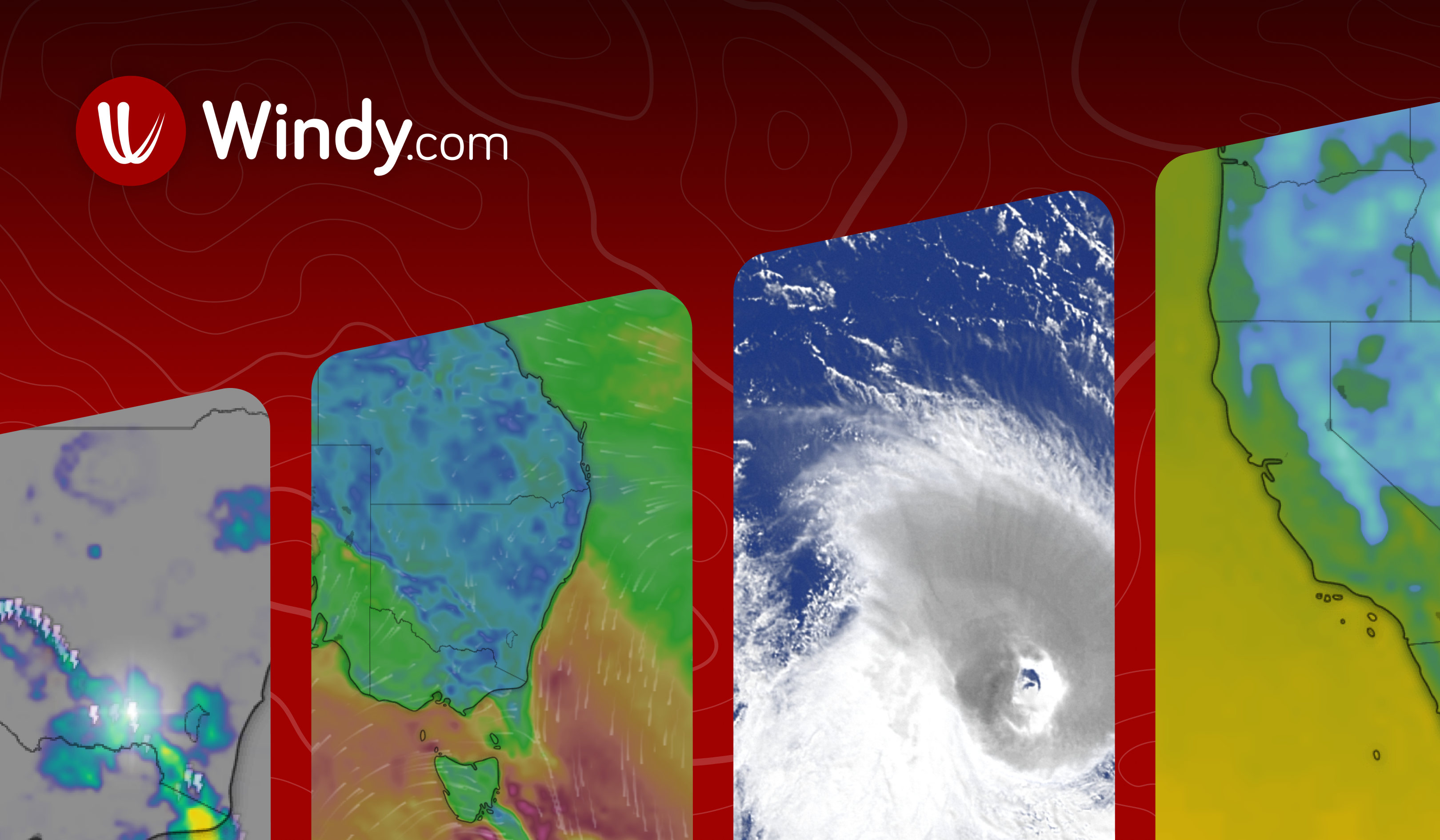
Windy (windy.com) is the answer when someone asks “what’s the single best hurricane tracker on a laptop”. The Hurricane Tracker layer pulls track and intensity guidance from NOAA, ECMWF, JMA, and BoM into one map, and you can toggle each model on and off to see where they agree and where they don’t. Layer in wind, pressure, precip, and temperature charts on top of the cyclone track, and you have a desktop-grade dashboard in the browser. The Pro tier adds higher-resolution data and removes minimum-zoom limits.
Where it falls short: Free tier has a 1-hour temporal resolution. The mobile UI doesn’t translate cleanly to a 27-inch monitor — fonts and controls can feel small.
Pricing:
- Free: full Hurricane Tracker, most layers
- Paid: Premium $19/year for higher resolution
Platforms: Web. Desktop install via PWA on Windows, macOS, Linux.
Bottom line: Start here. Most desktop users won’t need anything else for routine tracking.
2. RadarOmega — best high-resolution radar workstation
RadarOmega is the dedicated radar app that meteorologists actually run during storms. It supports MRMS reflectivity, single-site Level 2/3 data, NHC tropical suite, and hurricane hunter data inflows directly. The Pro tier (subscription) adds the deeper analyst features — algorithm overlays, time-lapse playback, and the NSE (near-storm environment) tools. Windows, Mac, and Linux clients all ship. The mobile version is well-rated; the desktop version is the serious one.
Where it falls short: Subscription required for the most useful features. Not free in any meaningful sense beyond the trial.
Pricing:
- Free: trial, basic radar
- Paid: Pro $9/month, Pro+ $19/month
Platforms: Windows, macOS, Linux. Steam Deck Playable in desktop mode.
Bottom line: The pick if landfall radar is what you most need to track.
3. NOAA National Hurricane Center — the authoritative source
NOAA National Hurricane Center at nhc.noaa.gov is the source of record. The forecast cones, the advisory text, the discussions, the wind probability products, and the official storm tracks come from here. Every other app on this list cites NHC data. The site is plain HTML and works in any browser on any desktop — which is the point. The interactive map (Active Storms page) shows current systems with the latest cone and intensity. Best paired with another visual tool, but the text products are where the forecasters’ actual reasoning lives.
Where it falls short: Visual UX is austere. Best as a reference reference, not a primary visualization.
Pricing: Free.
Platforms: Web. Works in any modern browser.
Bottom line: Always have this open in a tab. Everything else is downstream of it.
4. Earth Nullschool — best atmospheric flow visualization
Earth Nullschool at earth.nullschool.net is the elegant visualization tool that lets you see the global atmosphere at any pressure level and any time. Watch the steering currents that determine whether a storm recurves or makes landfall. Look at the upper-level shear, the mid-level moisture, the sea surface temperature. It’s not a forecaster tool the way Tropical Tidbits is — it’s an “understand what the atmosphere is doing” tool, and few apps come close.
Where it falls short: Not a forecasting app. Won’t give you a track or intensity prediction.
Pricing: Free.
Platforms: Web. Works on any desktop browser.
Bottom line: The pick to actually understand why a storm is doing what it’s doing.
5. PYKL3 Radar — best Windows power-user workstation
PYKL3 Radar is the Windows-only workstation that storm chasers and serious weather hobbyists run during severe events. Live Level 2 and Level 3 data from any radar site, customizable algorithms, time-lapse playback, archived data replay, and the depth of configuration options is unmatched on Windows. Originally an Android app, the desktop version is the more capable platform.
Where it falls short: Windows only. Steeper learning curve than Windy. Interface is utilitarian — this isn’t a polished consumer product.
Pricing:
- Free: trial
- Paid: ~$9.99 one-time
Platforms: Windows.
Bottom line: Pick this for landfall coverage on Windows when consumer apps stop being enough.
6. Tropical Tidbits — best for tropical model guidance
Tropical Tidbits at tropicaltidbits.com is the model guidance hub that operational forecasters quietly bookmark. Specific tropical-cyclone fields (HAFS, HMON, GFS-FV3, ECMWF tropical), spaghetti plots, intensity guidance overlays, satellite imagery at the storm scale, and a clean UI built by a hurricane scientist. Maps update on the regular operational cadence.
Where it falls short: Assumes the reader knows what they’re looking at. Vocabulary is forecaster-grade.
Pricing: Free, donation-supported.
Platforms: Web. Best on a wide monitor.
Bottom line: The pick when you want the model guidance that working forecasters look at, not consumer summaries.
7. Cyclocane — best fast cyclone status page
Cyclocane at cyclocane.com is the no-frills “what’s happening right now” page. Active storms, position, wind, pressure, expected track in plain text. Great when you don’t want a heavy map app open just to check if anything is brewing in the Atlantic basin. The “any cyclone, any basin” view is the right level of zoom for keeping a global eye on tropical activity.
Where it falls short: Static text and small maps. Not a deep analysis tool.
Pricing: Free.
Platforms: Web. Loads in a second on any desktop.
Bottom line: The pick for a quick status check between heavier tools.
How to pick the right one
- If you want the best single tool for routine tracking: pick Windy.
- If radar matters most: pick RadarOmega for cross-platform, PYKL3 for Windows power-user.
- If you want the official source of record: pick NOAA NHC.
- If you want to understand the atmosphere visually: pick Earth Nullschool.
- If you want forecaster-grade model output: pick Tropical Tidbits.
- If you only want a quick status check: pick Cyclocane.
FAQ
What is the best hurricane tracker for desktop?
Windy is the single best-rounded tool. Pair it with NHC text bulletins and (when landfall is close) RadarOmega or PYKL3 for radar.
Is there a free hurricane tracker for PC?
Windy, NOAA NHC, Earth Nullschool, Tropical Tidbits, and Cyclocane are all free. RadarOmega and PYKL3 have free trials with paid full versions.
What apps do meteorologists actually use during hurricanes?
Tropical Tidbits and the NHC products are forecaster staples. RadarOmega and PYKL3 are the field tools. Windy is the multi-model overview.
Can I track hurricanes on a Mac?
Yes — Windy, RadarOmega, Earth Nullschool, NHC, Tropical Tidbits, and Cyclocane all work on macOS. PYKL3 is Windows-only.
Which app is best for hurricane landfall radar?
RadarOmega Pro and PYKL3 are the two strongest dedicated radar tools. NWS radar pages also work in any browser and are free.
Does Windy work offline?
Windy is an online service. You need a connection to refresh the model layers. NHC text advisories can be saved locally; visual tools require an active connection.
